Tour Details
Duration
3 hours
Product Type
Tour
Venues
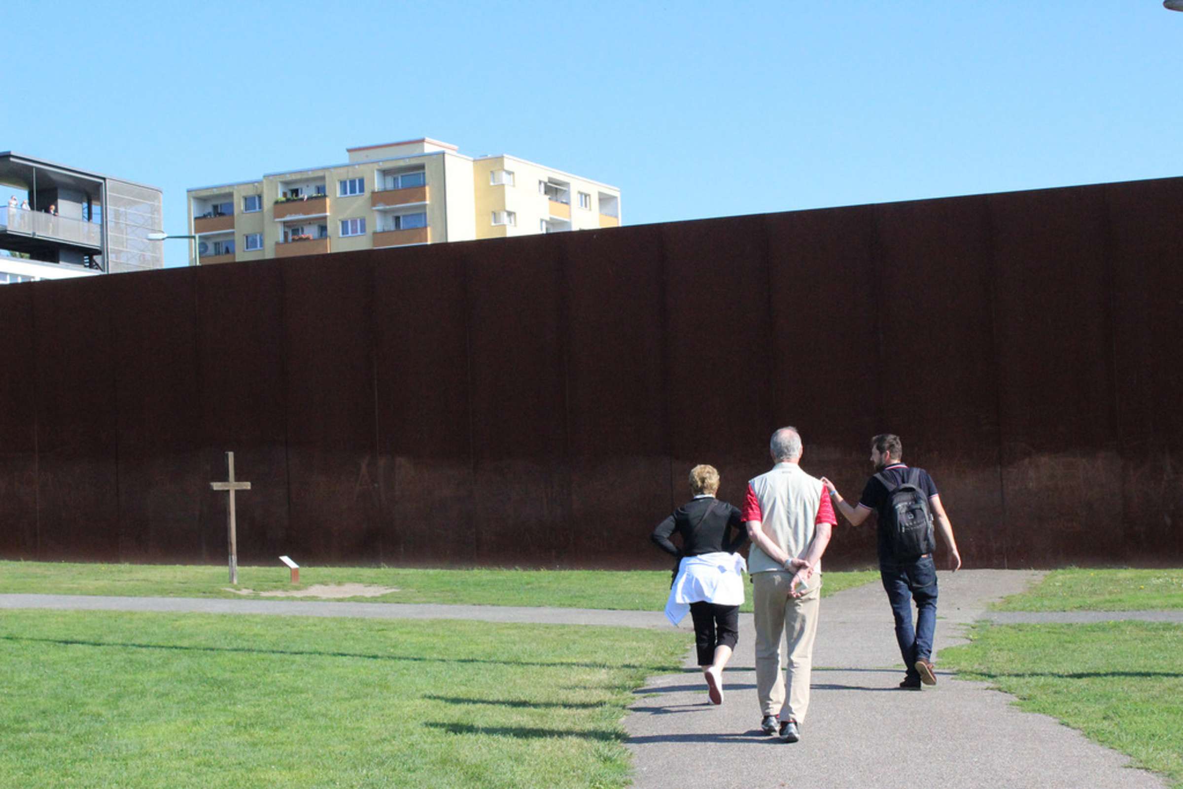
Berlin Wall Memorial
Photos & Highlights


- Trace the path of the Berlin Wall
- Led by a local expert in 20th-century history
Select a date
Tour Description
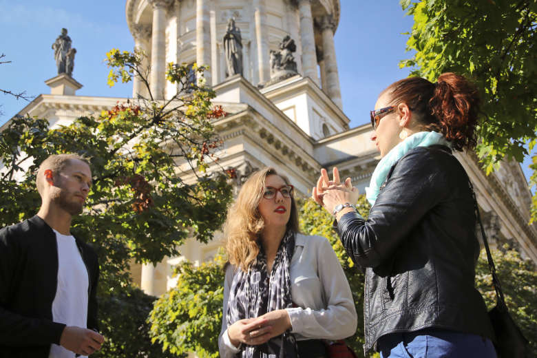
More than 30 years after its fall, the Berlin Wall still looms large. Led by an expert in 20th-century history, this 3-hour Berlin Wall walking tour traces the footprint of the wall through the city’s center, unraveling the complex forces that shaped Berlin's history. We will investigate the meaning behind the Wall's construction, the realities of life in a divided city, and the dramatic events of its fall. We will also visit the Berlin Wall Memorial.
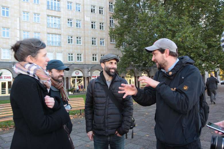
Berlin Wall Tour
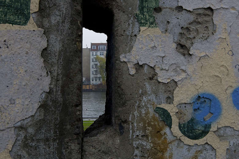
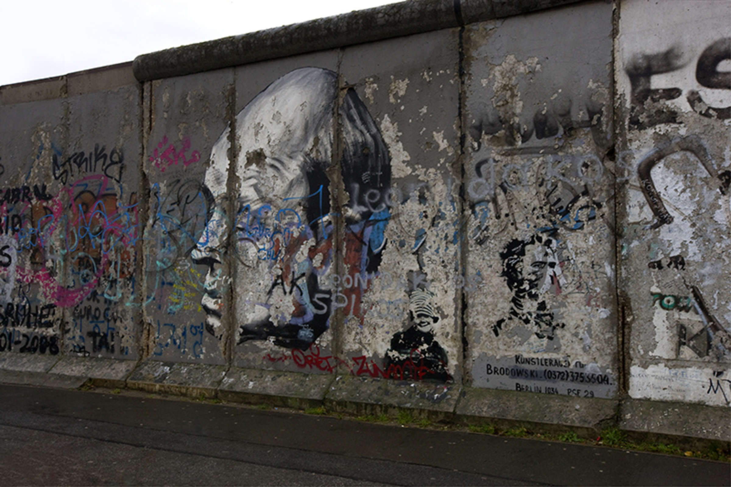
For over a quarter century, the imposing concrete barrier of the Berlin Wall with its notorious “death strip” stood as an ominous reminder of the divide between Western Europe and the Eastern Bloc. Beginning at the Berlin Wall Memorial, the site of some of the most astonishing escape attempts from the communist East, we will explore numerous exhibitions, memorials, artworks, and historical locations. We will see how the Wall was constructed and expanded, how it operated as a symbol of the Cold War, and how and why it ultimately fell. Finally, we will discuss the irony that Berlin is now deeply associated with a structure that no longer exists.
A New Germany
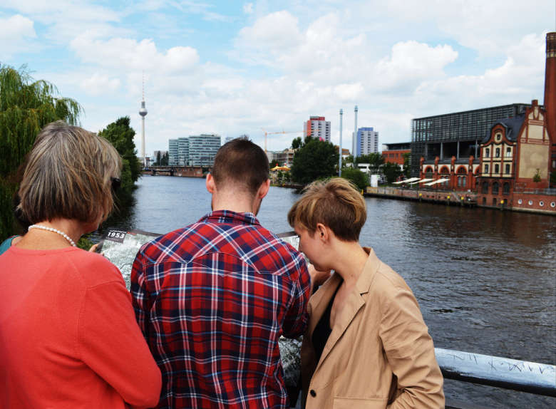
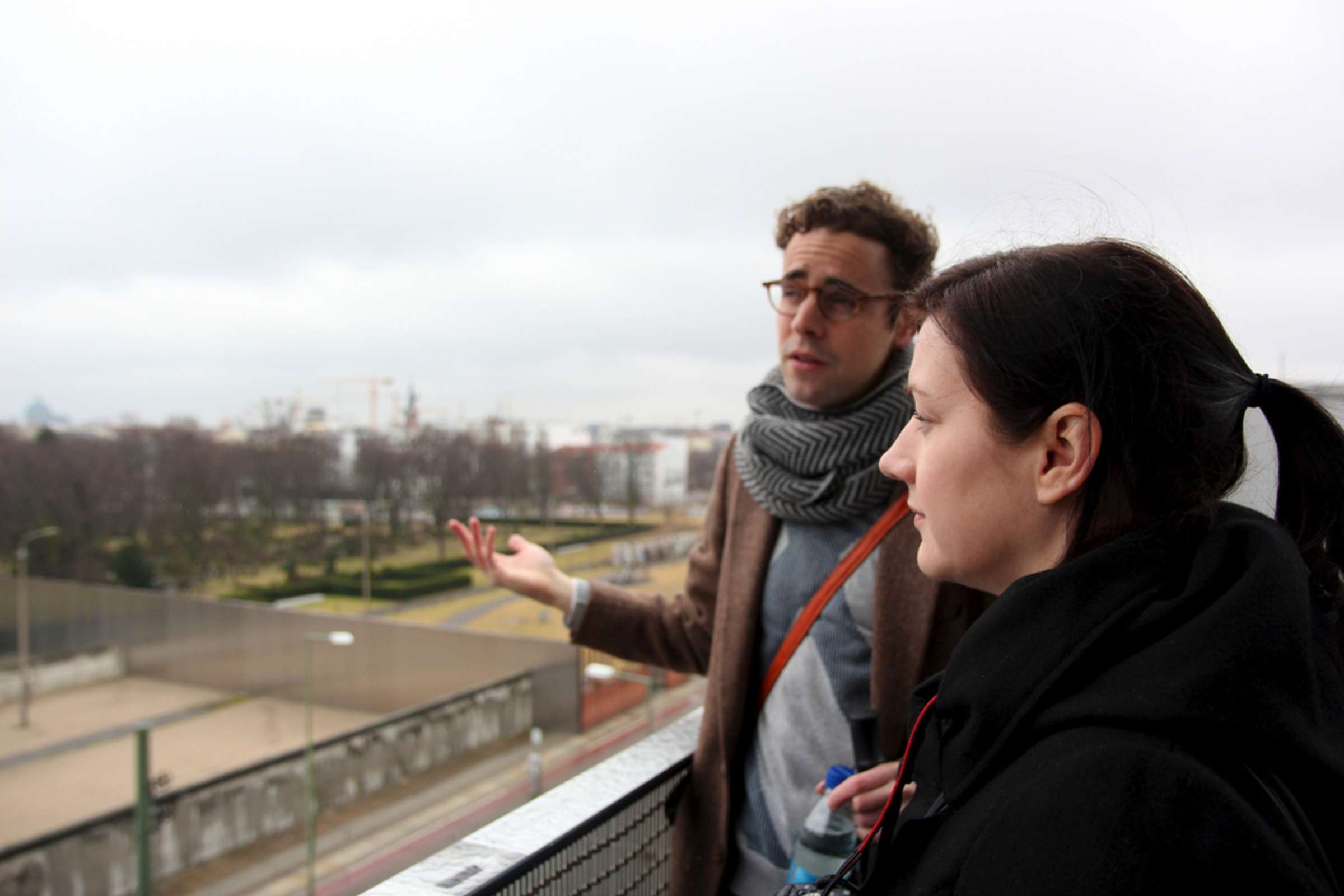
After the momentous dismantling of the Wall began in 1989, larger issues of national identity in newly unified Germany immediately arose. As we continue our walk and pass the many memorial sites along our route—including the “ghost stations” exhibit at Nordbahnhof—we will consider vital questions about the tension in Germany’s difficult history. On one hand is the desire to move on and leave these troubles in the past; on the other, the need to preserve what remains of this history.
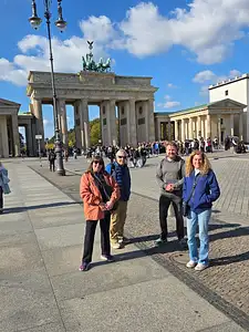
Depending on the day and the guide, our walk often ends at the Brandenburg Gate or Potsdamer Platz. Even as our time together comes to a close, we'll still have big questions to mull over. Should the divisions of the city be erased completely? Or, etched forever into its memory? The physical barriers of the Berlin Wall have mostly vanished, but the shockwaves caused by its rise and fall carry on today.
Addenda
If you'd like to learn more about the Cold War through the lens of architecture, check out our Berlin Cold War tour. Also, our Berlin Wall Tour for Kids offers a counterpart to this walk, specially designed for groups with young children.
FAQ
Where does the walk end?
This walk usually ends around the Brandenburg Gate/Potsdamer Platz area.
This walk usually ends around the Brandenburg Gate/Potsdamer Platz area.
Why doesn't this walk visit the East Side Gallery or Checkpoint Charlie?
We think that these sites are not the strongest places to dig into the history of the Berlin Wall. We do include the East Side Gallery on our Berlin Wall for kids tour because we think it's a great place to visit with children. But we find that the Berlin Wall Memorial and the other locations that we visit on this tour offer far more authentic experiences and deeper insights into Cold War history for adults ready to learn. Plus, the sites are geographically spread out, so we've chosen to leave them out in the interest of time.
We think that these sites are not the strongest places to dig into the history of the Berlin Wall. We do include the East Side Gallery on our Berlin Wall for kids tour because we think it's a great place to visit with children. But we find that the Berlin Wall Memorial and the other locations that we visit on this tour offer far more authentic experiences and deeper insights into Cold War history for adults ready to learn. Plus, the sites are geographically spread out, so we've chosen to leave them out in the interest of time.
Experts


Where You'll Start
–
192 Reviews
Reviews can only be left by Context customers after they have completed a tour. For more information about our reviews, please see our FAQ.
Jochen was a fabulous guide. He was engaging, knowledgeable, generous with his time and offers of additional sites to visit and places to eat, quick to respond to text messages. Overall, a wonderful experience
Jobie
Reviewed on:
Oct 5, 2025
Great tour!
Steffany
Reviewed on:
Oct 1, 2025
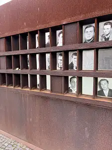
Very impressed with Aaron’s knowledge. When we saw the photographs of those killed, he knew many of the personal stories, which made the horror and sadness all the more real.
Virginia (gigi)
Reviewed on:
Sep 22, 2025